File:Philpott Dam, planning map, dam site and somewhat above.jpg
Original file (3,072 × 2,304 pixels, file size: 1.43 MB, MIME type: image/jpeg)
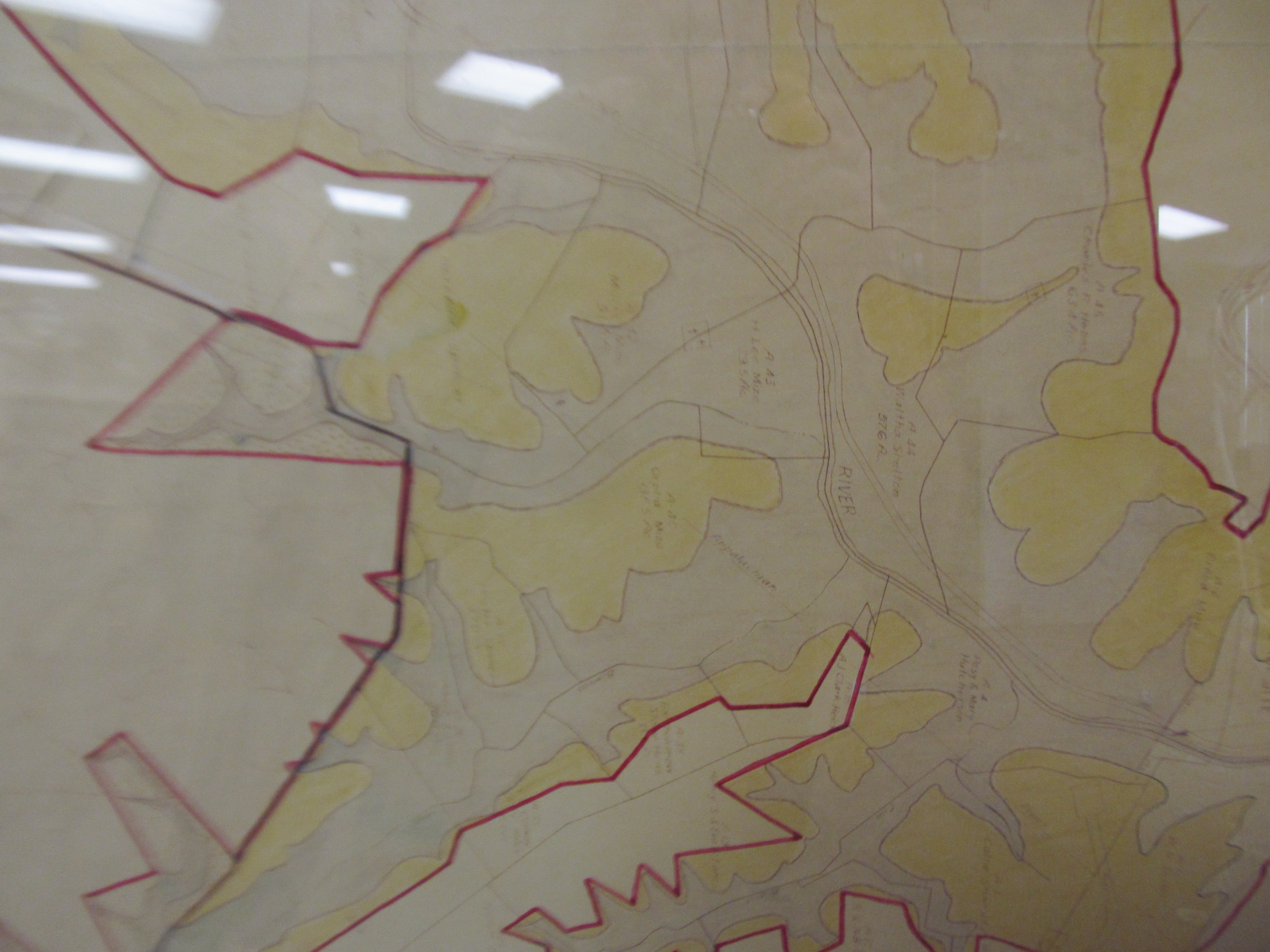
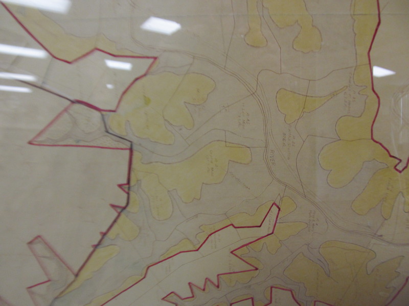
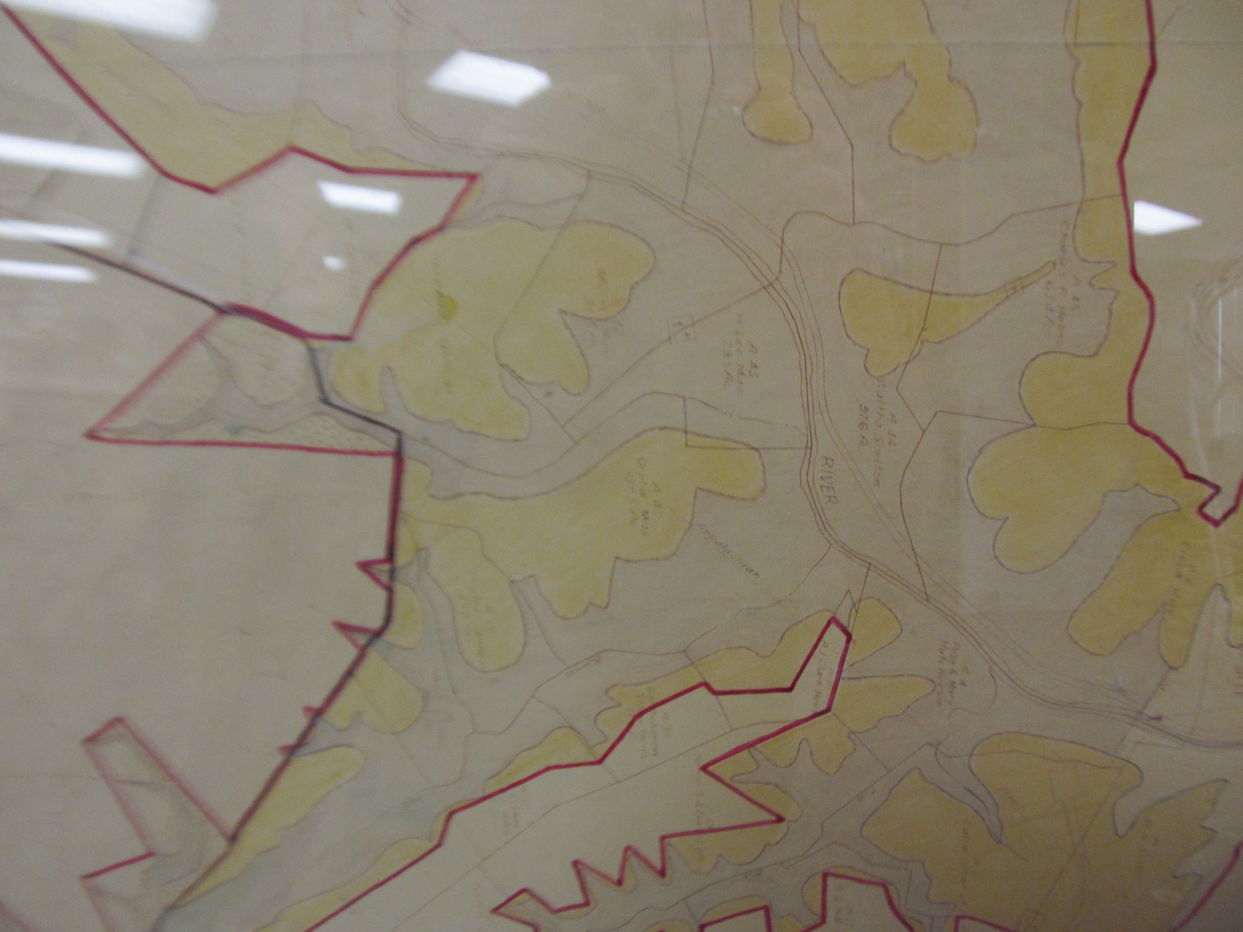
Picture taken at the Bassett Historical Center from a map they had on display. It dates from the period in which the Philpott Dam was being planned. It shows the expected water line and outlines for nearby pieces of property. Many of the properties are marked with acreage and owner. Blue area is expected to be underwater, while brown is expected to be above water. I do not recall the exact meaning of the red, outer boundary. Possibly something like the most extreme possible boundary for the lake, or land belonging to, or affected by, the project.
This section shows the dam site at the bottom-left with the Smith River flowing from the top-left to the bottom-right. This image is oriented such that North is up.
It is hard to read in this photo, and there is glare. The map is also fading.
Related Images
- Philpott Dam, planning map, full.jpg
- Philpott Dam, planning map, Goblintown Creek junction.jpg
- Philpott Dam, planning map, Goblintown Creek junction 2.jpg
- Philpott Dam, planning map, Goblintown Creek junction 3.jpg
- Philpott Dam, planning map, below Goblintown Creek junction.jpg
- Philpott Dam, planning map, dam site and somewhat above.jpg
- Philpott Dam, planning map 2, below Goblintown Creek junction to dam site.jpg
File history
Click on a date/time to view the file as it appeared at that time.
| Date/Time | Thumbnail | Dimensions | User | Comment | |
|---|---|---|---|---|---|
| current | 20:46, 6 November 2016 | | 3,072 × 2,304 (1.43 MB) | Seanmcox (talk | contribs) | Picture taken at the [http://www.bassetthistoricalcenter.com/ Bassett Historical Center] from a map they had on display. It dates from the period in which the Philpott Dam was being planned. It shows the expected water line and outlines for nearby piec... |
You cannot overwrite this file.
File usage
The following page uses this file: